Eesti Geoinformaatika Seltsi aastakonverents „ESTGIS 2012 – Traditsioonid vs innovatsioon GIS-is” toimub 30.11.2012 – 01.12.2012 Strand SPA ja Konverentsihotellis Pärnus.
| Konverentsi peaesinejad |
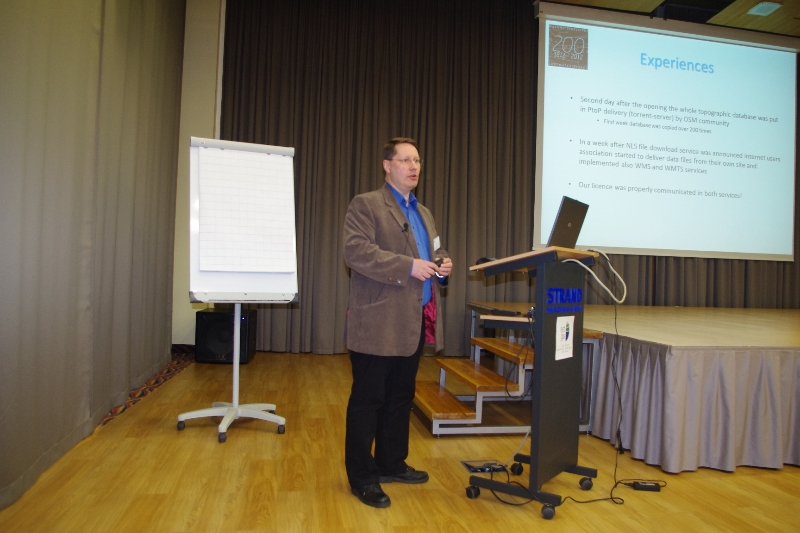
 | Soome Maamõõduameti kogemust topograafiliste andmete jagamisest avaandmetena tutvustab härra Antti Kosonen. |
| |
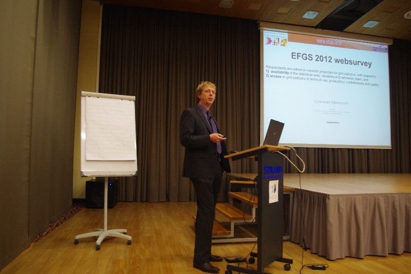
 | Euroopa Geostatistikute Foorumi (EFGS) president härra Vilni Verner Holst Bloch Norrast tutvustab EFGS-i tegevusi ja Euroopa ülese harmoniseeritud geostatistika andmete hetkeseisu. |
| |
 | Härra Antti Jakobsson Eurogeographicsist räägib, kuidas selgitatakse Brüsselis ruumiandmete ja geoinfosüsteemide olulisust. |
| |
 | Härra Jaan Praks Aalto Ülikoolist ja Soome Kaugseire Ühingust heidab pilgu Soome Kaugseire maastikule. |
Konverentsi üldinfo
Oma ettekande soovist palun andke teada konverentsile registreerides hiljemalt 15.09.2012.
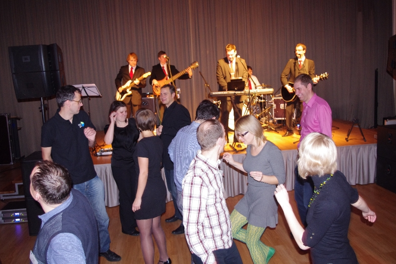
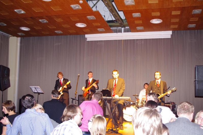
Reede õhtul toimub konverentsi õhtusöök, mille teeb tantsulisemaks Rulli Magneetik–http://magneetik.rulli.ee/
Osalustasud
|
| Konverentsi osalustasu kuni 31.10.2012: |
| Tudeng/mittetöötav pensionär | 25 EUR |
| Seltsi liige | 30 EUR |
| Mitteliige | 40 EUR |
| Õhtune buffet (eraldi tasu): |
| Õhtusöök klaasi veini ja muusikaga (30.11) | 30 EUR |
|
| Konverentsi osalustasu alates 1.11.2012 : |
| Tudeng/mittetöötav pensionär | 30 EUR |
| Seltsi liige | 35 EUR |
| Mitteliige | 45 EUR |
| Õhtune buffet (eraldi tasu): |
| Õhtusöök klaasi veini ja muusikaga (30.11) | 30 EUR |
Konverentsitasud sisaldavad lõunasööke ja kohvipause.
Konverentsi tasu palume kanda Eesti Geoinformaatika Seltsi arveldusarvele SEB pangas10220191739225. Selgituses palun märkige osaleja ees ja perekonna nimi.
Majutus
Soodushind on 51 EUR-i ühele inimesele või kahele inimesele kokku, sisaldades SPA külastust. Majutus tuleb osalejatel ise broneerida meili teel : sales@strand.eevõi telefonil+372 447 5389. Majutuse soodushinna saamiseks kasutage sõna „ESTGIS“.
Transport ja majutus on osavõtjate enda organiseerida. Koopereeruge kolleegidega!
Kohtumiseni Pärnus,
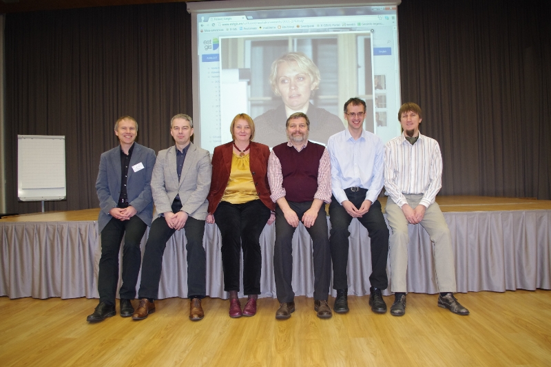
ESTGIS juhatus:
Tõnu Oja, Kristian Teiter, Diana Makarenko-Piirsalu, KristelLelov-Brossard, Aivo Vard, Tõnu Randaru, Eduard Pukkonen


")